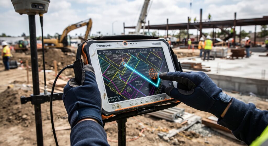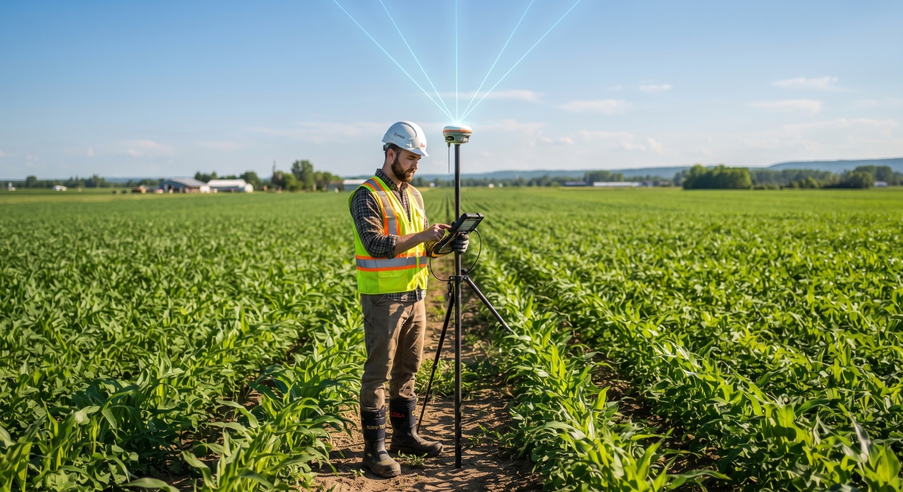
Land-based disputes are a familiar scenario in our society, driven by scarce land, inaccurate maps, and boundary complexities. Traditional surveying methods using chains or measuring tapes leave substantial room for human error. A discrepancy of just a few inches can trigger long-term legal complications. Space-based satellite technology—RTK GNSS (Real-Time Kinematic Global Navigation Satellite System)—presents a revolutionary solution to this age-old problem.
While smartphones or standard GPS display error margins of 3 to 5 meters, RTK GNSS technology harnesses satellite signals to deliver 100% accurate boundary demarcation within 1 to 2 centimeters.
What is RTK GNSS and How Does It Differ from Standard GPS?
The GPS (Global Positioning System) we use in daily life relies primarily on a single satellite network belonging to the United States. Modern surveying, however, utilizes GNSS rather than GPS alone. GNSS connects to over a hundred satellites in the sky by combining satellite clusters from the US (GPS), Russia (GLONASS), the European Union (Galileo), and China (BeiDou).
Standard GPS signals experience slight delays as they pass through the Earth’s ionosphere and troposphere, disturbing precise positioning calculations. To eliminate this error, RTK (Real-Time Kinematic) technology is employed.
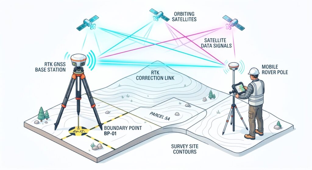
In RTK technology, a stationary Base Station is used on the ground alongside satellites. The base station calculates satellite signal errors or atmospheric interference in real time and instantly transmits correction data to a mobile receiver, known as a Rover. Consequently, centimeter-precise location data is acquired within milliseconds.
How RTK GNSS Works: The Mechanism
                      [ Satellite Network ]
                     (GPS, GLONASS, BeiDou)
                            /      \
                           /        \
                          v          v
   [ Base Station ] ──(Radio/NTRIP)──► [ Rover ]
 (Fixed Known Point)                 (In Surveyor's Hand)
-
Base Station: A geodetic GPS receiver is placed at a fixed, known coordinate point. It calculates signal errors by measuring the difference between calculated satellite distances and its known position.
-
Rover: The portable instrument carried by the surveyor as they walk along land boundaries or embankments to collect data points.
-
Data Link (Radio or Cellular NTRIP): Corrected data from the base station reaches the rover directly via UHF radio signals or the internet (NTRIP/SIM Card).
-
Data Collector/Controller (Handheld Controller): A field controller connected to the rover processes received latitude, longitude, and elevation data to generate land maps.
Applications of RTK GNSS in Land Boundary Demarcation
-
Cadastral Surveying & Geo-referencing: RTK GNSS plays a vital role in matching Mouza maps to Earth’s actual geographic coordinates.
-
Resolving Map and Khatian Discrepancies: In digital surveying, the exact endpoint of a plot’s boundary can be pinpointed precisely on a digital map.
-
Accurate Land Area Measurement: Irregularly shaped, marshy, or undulating plots can be segmented into individual points to calculate exact square footage or decimal land area.
-
Boundary Pillar Replacement: If a previously surveyed point is lost in the future, RTK technology allows pillars to be reinstalled in the exact same location with inch-level precision.
-
Drone Survey Referencing: Setting Ground Control Points (GCPs) on the ground using RTK during aerial drone mapping elevates accuracy to near 100%.
Traditional Surveying vs. RTK GNSS Surveying
| Feature | Traditional Chain/Tape Survey | RTK GNSS Digital Survey |
| Accuracy Level | Margin of error ranging from several inches to 1–2 feet | 1 to 2 centimeters (millimeter-level) |
| Time Consumption | Surveying 1 acre can take an entire day | Complete data collection takes only 10 to 15 minutes |
| Manpower | Requires 3 to 4 experienced personnel | 1 surveyor is sufficient |
| Natural Obstacles | Difficult to measure around bushes, rivers, or water bodies | Survey completed instantly upon receiving signal |
| Digital Output | Time-consuming hand-drawn maps | Directly exportable to AutoCAD, GIS, or PDF formats |
Key Advantages of Modern RTK Technology
-
CORS Network / E-Survey Facility: If a country has established a centralized CORS (Continuously Operating Reference Stations) network, surveyors do not need to carry their own base station. Centimeter-level accuracy can be achieved anywhere nationwide using only a rover and a SIM card connected to the central server.
-
Tilt Compensation (Tilt Sensor): Modern RTK rovers feature an IMU (Inertial Measurement Unit) sensor. As a result, exact coordinates are recorded even if the survey pole is tilted up to 60 degrees rather than held completely upright over a boundary pillar.
-
Bias-Free Impartiality: Digital coordinates are recorded directly from satellite signals, making it impossible for surveyors or land measurers (amins) to intentionally shift boundaries or show bias.
Limitations and Precautions
-
Satellite Signal Obstruction (Satellite Occlusion): Direct signal reception may be hindered in dense forests, under tall buildings, or underground.
-
Initial Investment: High-quality RTK GNSS equipment carries a higher price tag compared to traditional tools.
-
Skill Requirements: Operating the device requires fundamental knowledge of geodesy and surveying software.